Path of the Gods: Route Map and Stages, Bomerano to Positano
The Path of the Gods stage by stage on CAI path 327, with a route map, the 327a variant for vertigo, two ways down to Positano and the buses at each end.
Quick links
Don't want to read all this?
We've planned 2,000+ hiking trips. Send your dates, fitness and group size — we'll map the route and book every night.
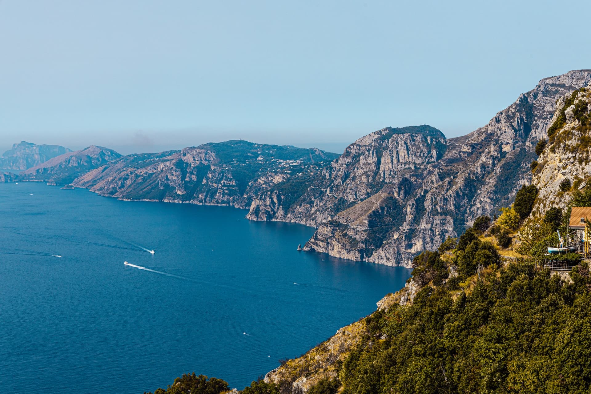
The Path of the Gods, the Sentiero degli Dei, is an old mule track along the cliffs high above Praiano and Positano. You walk between 440 and 630 m, past terraces and farmhouses, with the coast running out to Capri ahead.
Its name comes from a legend that the Greek gods walked it to save Ulysses from the sirens of Li Galli, the islets off Positano. Today hundreds of thousands of walkers follow it every year.
CAI path 327 runs 5.3 km from Bomerano, in Agerola, to Nocelle above Positano. It climbs 184 m and drops 356 m in about 2 hours, and the way down to Positano adds an hour or more. It is free, and among the walks for walking the Amalfi Coast it is the one most visitors come for.
The Path of the Gods Route, Stage by Stage
The path falls into four stages, set by its junctions and water points: Colle La Serra, where it forks, Cannati, where the two branches meet again, and Nocelle, where the way down to Positano starts.
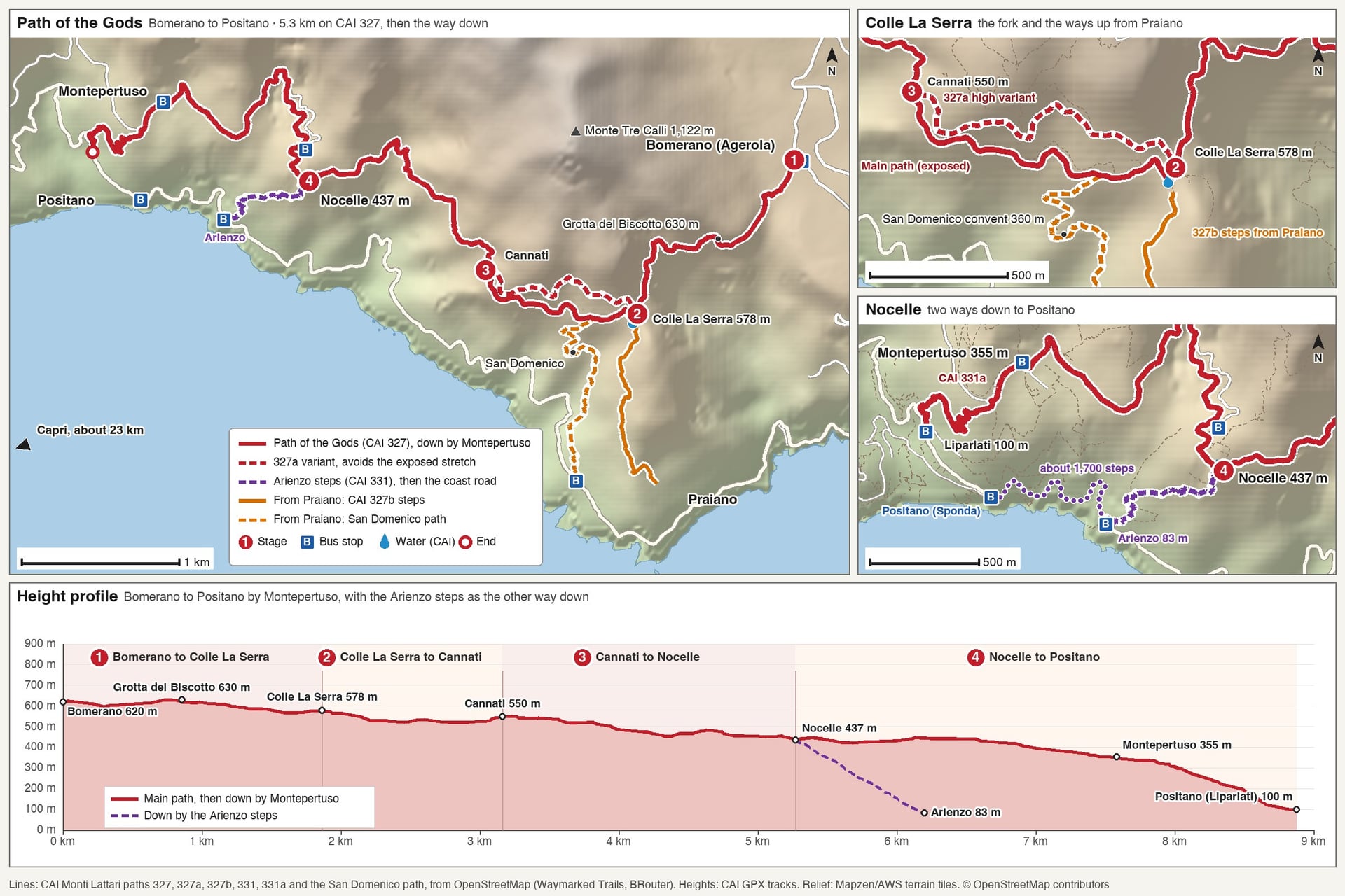
Stage | Distance | Height | Time | Water |
Bomerano to Colle La Serra | 1.9 km | 620 m to 578 m, high point 630 m | About 40 min | Bomerano, Colle La Serra |
Colle La Serra to Cannati | 1.3 km | 578 m to 550 m | About 30 min | None |
Cannati to Nocelle | 2.1 km | 550 m to 437 m | About 50 min | Nocelle |
Nocelle to Positano | 1.9 km by the steps, 3.6 km by Montepertuso | 437 m down to 83 m or 100 m | About 1 h or 1 h 30 | Nocelle, Montepertuso |
CAI gives 2 hours for path 327 from Bomerano to Nocelle, and the stage times split that by distance and height. With stops for the view, plan on half an hour to an hour more, 2 hours 30 to 3 hours to Nocelle.
Add the way down, about 1 hour by the Arienzo steps or 1 hour 30 by Montepertuso, and the bus to the start: 40 minutes from Amalfi or about 2 hours from Positano. A day trip from Positano takes 6 to 7 hours door to door.
Stage 1: Bomerano to Colle La Serra
Distance: 1.9 km
Height: 620 m at Bomerano, 630 m at the Grotta del Biscotto, 578 m at Colle La Serra; about 60 m up and 100 m down
Time: about 40 minutes
Terrain: a village lane, a wooden bridge and a short road, then a stony mule track
Water: fountains in Bomerano and at Colle La Serra
Way off: back to Bomerano, or down the 327b steps to Praiano from Colle La Serra
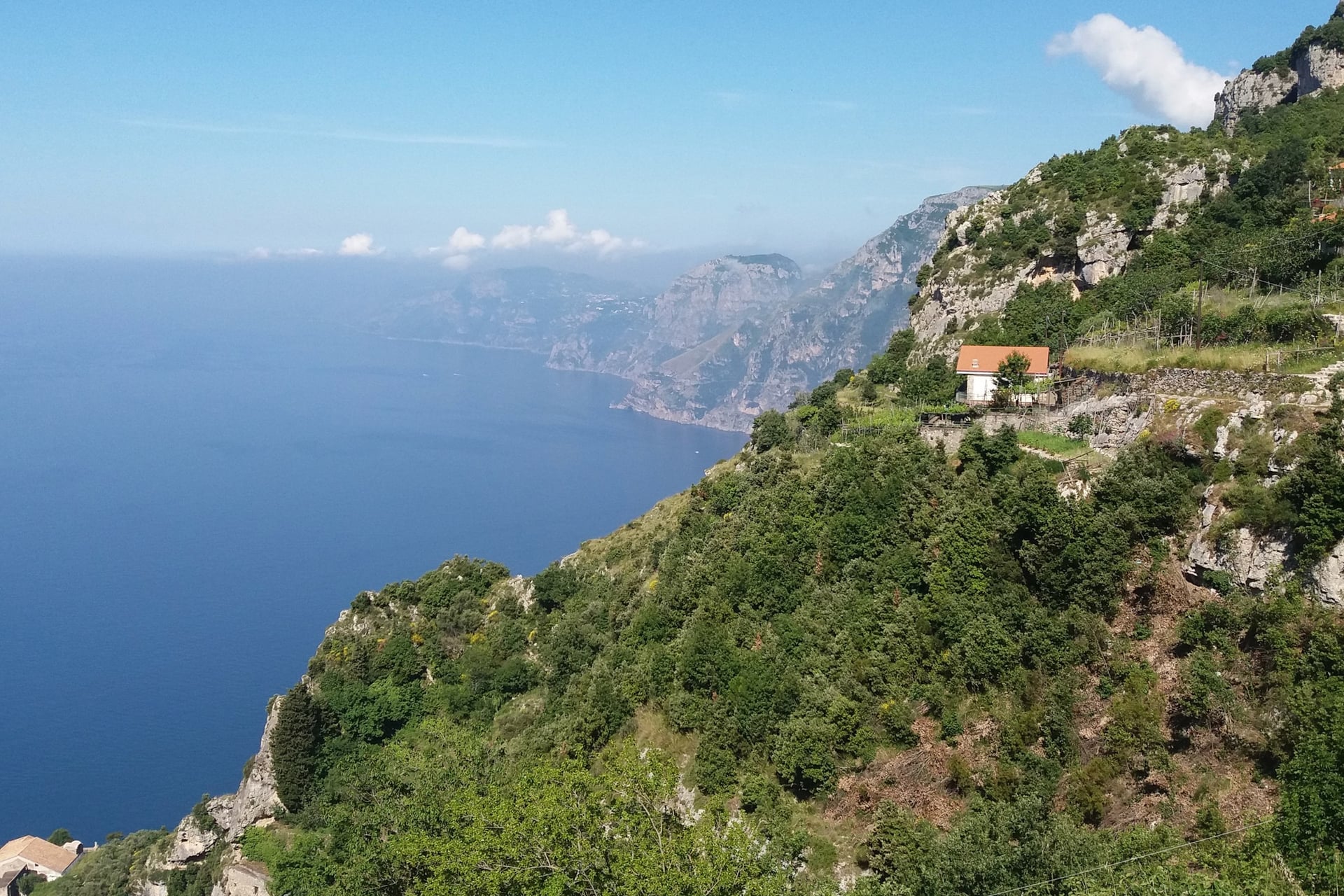
The path starts in Piazza Paolo Capasso, Bomerano's main square and bus stop. A lane leads south-west between the houses, and after about 300 m you turn right over a wooden bridge onto a road. The footpath proper starts where that road ends.
A few minutes later you reach the Grotta del Biscotto, at 630 m the highest point of the walk, named for its crumbly, biscuit-like rock. Below the path are small houses built into the rock. Gentle ups and downs then lead past terraced vineyards to the fountain at Colle La Serra, with the coast running west to the Sorrento peninsula.
Bomerano's square has cafés and food shops, so buy water and lunch before you set off: the next cafés are in Nocelle, 5.3 km on. Before the Grotta del Biscotto, at 600 m, path 354 branches off down the Vallone della Praia to Furore.
The square is also the start of the Sentiero alto degli Dei, CAI 329, a harder 8.4 km over Monte Tre Calli at 1,122 m. It is one of the Amalfi Coast hikes on our sister site, and CAI shows a warning for it, so check its status first.
Stage 2: Colle La Serra to Cannati
Distance: 1.3 km on either branch
Height: 578 m to 550 m; about 60 m up and 80 m down on the main path, 45 m up and 63 m down on the 327a
Time: about 30 minutes; CAI gives the 327a 20 minutes
Terrain: a narrow path with unfenced drops on the main branch; a rougher start on the 327a
Water: none
Way off: the San Domenico path down to Praiano, 350 m past Colle La Serra
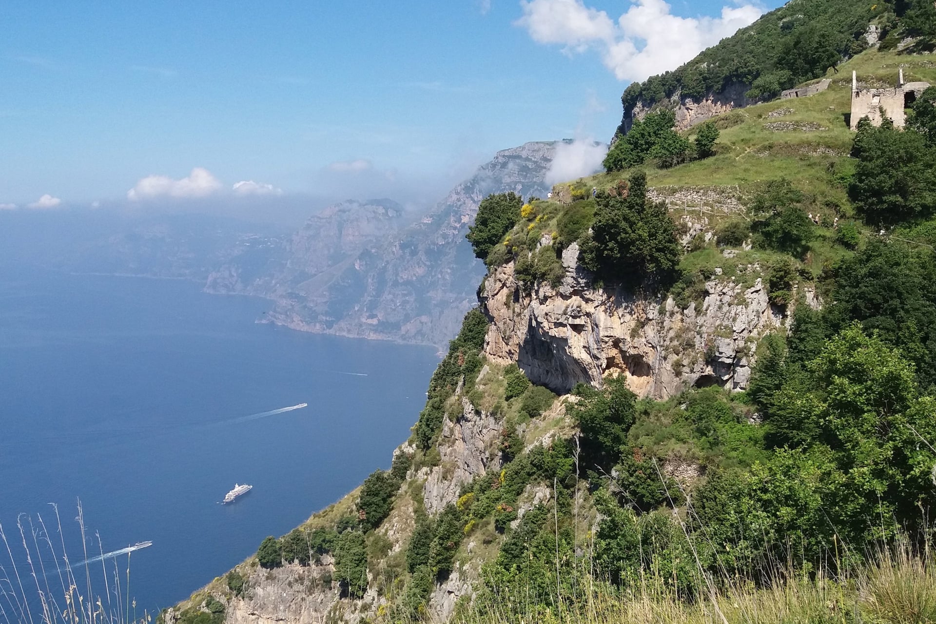
At Colle La Serra the path forks by a ruined house. The left branch is the main path, which runs along the cliff with the widest views and the most exposed stretch of the whole walk. The right branch is the 327a, a higher variant that avoids the exposed part, so walkers who suffer from vertigo can do the walk too.
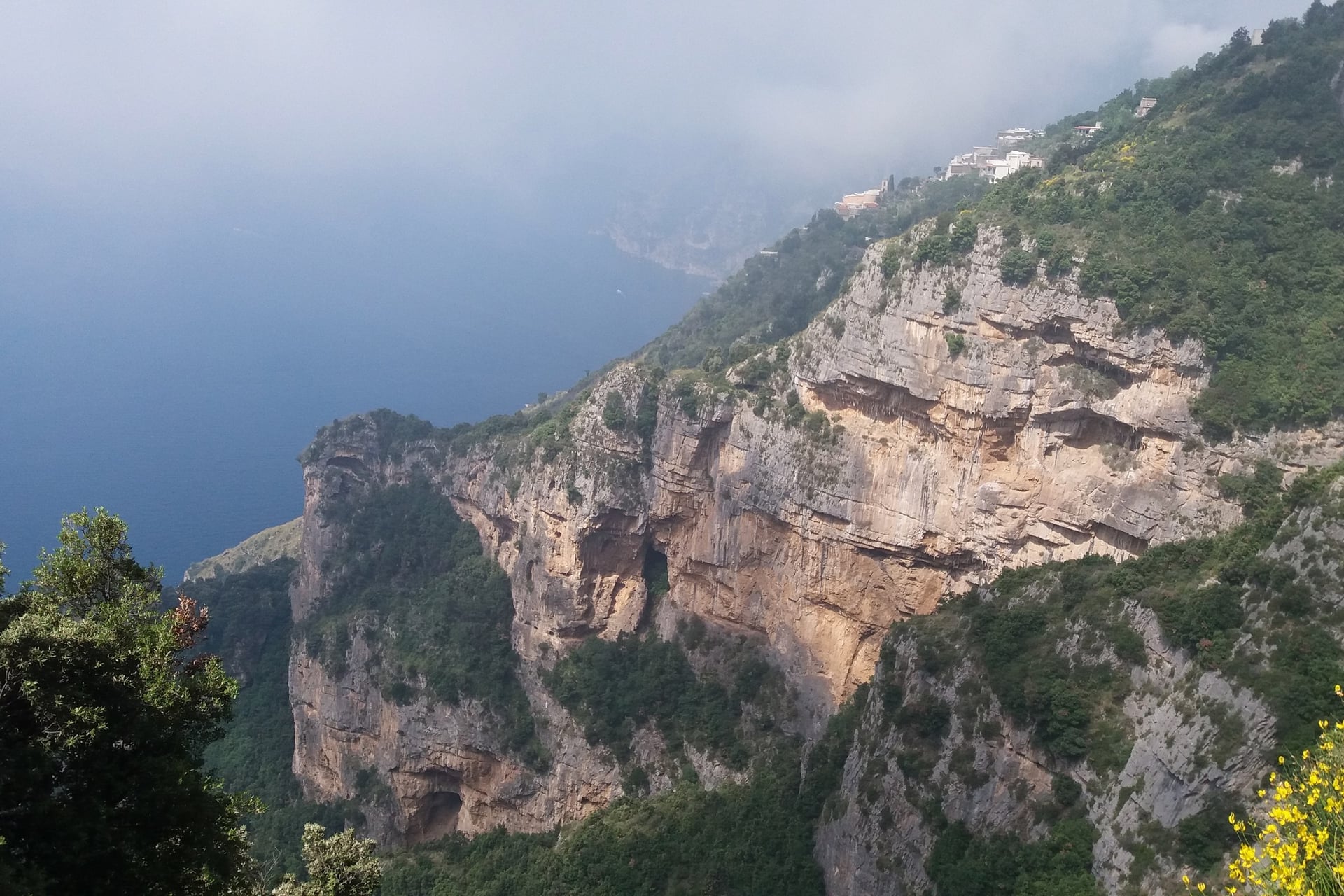
Right after the fork, at 570 m, the 327b stairway from Praiano joins from below. The main branch then starts downhill and looks straight down on Praiano, the convent of San Domenico and the coast road, about 450 m below. Keep to the inside of the path where it narrows.
Both branches meet again after about 1.3 km at Cannati, a group of farmhouses at about 550 m. On the 327a you pass old lime kilns, where limestone was burnt for building lime. On the main path, the turn-off to San Domenico and Praiano drops left about 350 m after the fork.
Stage 3: Cannati to Nocelle
Distance: 2.1 km
Height: 550 m to 437 m; about 70 m up and 170 m down
Time: about 50 minutes
Terrain: a stony path with short climbs, in and out of holm oak woods near Nocelle
Water: the fountain in Nocelle
Way off: none until Nocelle
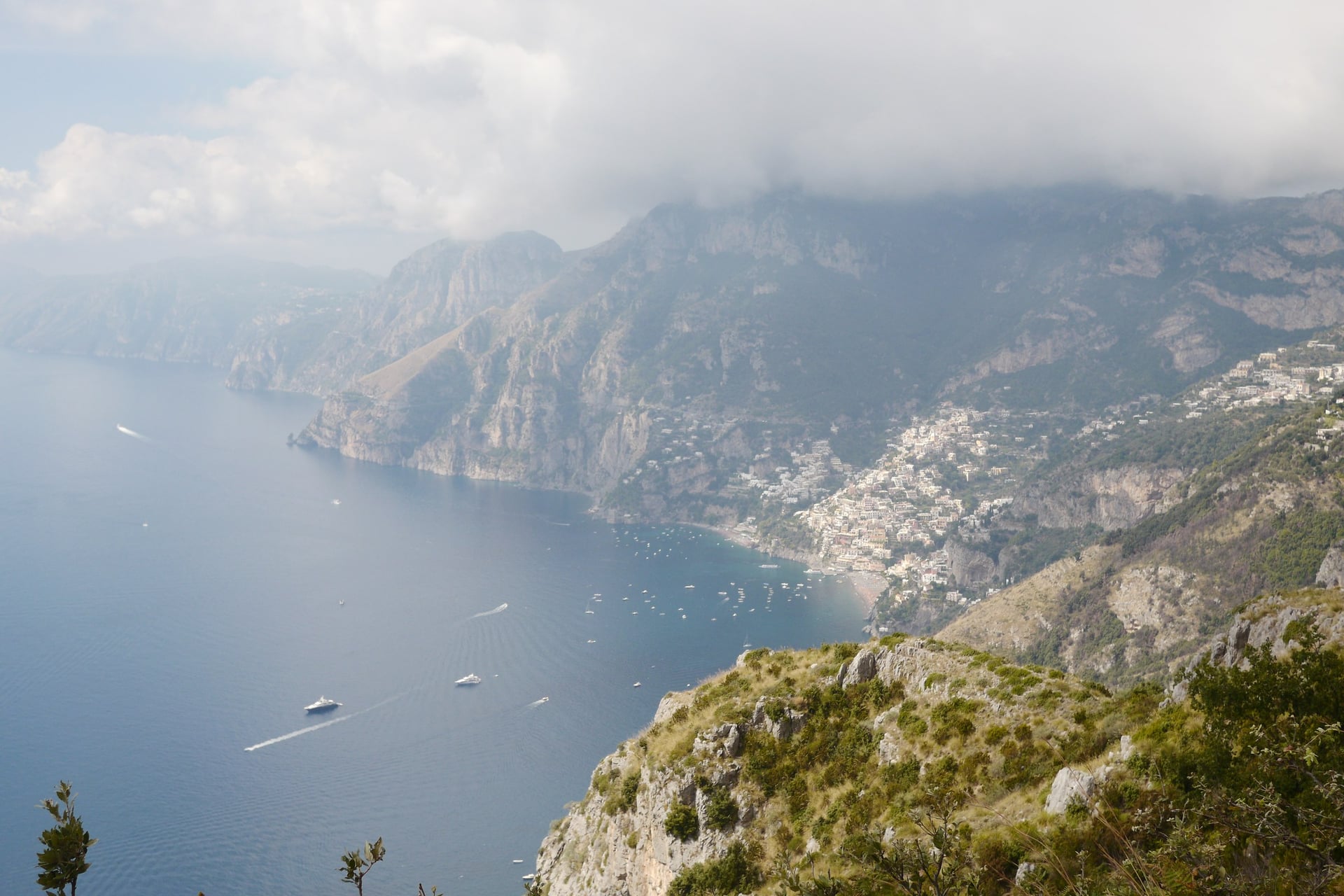
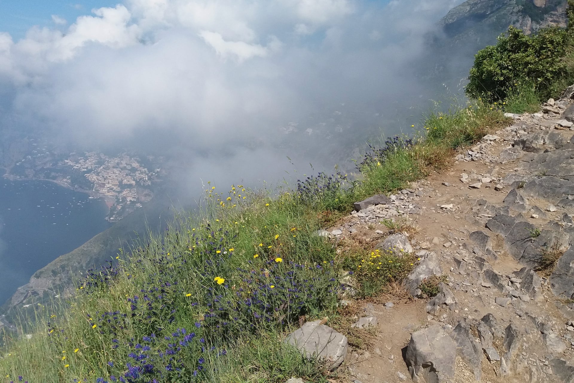
This is the stretch above Positano. The path winds along the slope and crosses the Vallone Gradelle, a deep gully, as Positano comes into view below. The last third has the only real shade, in holm oak, arbutus and heather.
On a clear day you can pick out Li Galli, the three islets of the legend, about 8 km away off Positano, and Capri about 23 km to the south-west. Below, the tiled dome of Santa Maria Assunta stands by Positano's beach, about 450 m down.
Nocelle is a hamlet of Positano at 437 m, with a fountain, the small church of Santa Croce from 1834 and a kiosk selling drinks and lemon granita. Positano keeps a permanent 118 medical post in the village, and the steps down to Arienzo start at the church square.
Stage 4: Nocelle to Positano
Distance: 1.9 km by the Arienzo steps and the coast road, or 3.6 km by Montepertuso
Height: 437 m down to 83 m at Arienzo, or to 100 m at Liparlati
Time: about 1 hour by the steps, about 1 hour 30 by Montepertuso
Terrain: a long, steep stairway, or a lane and a road followed by 1.3 km of steps
Water: fountains in Nocelle and Montepertuso
Way off: the local bus from Nocelle or Montepertuso to Positano
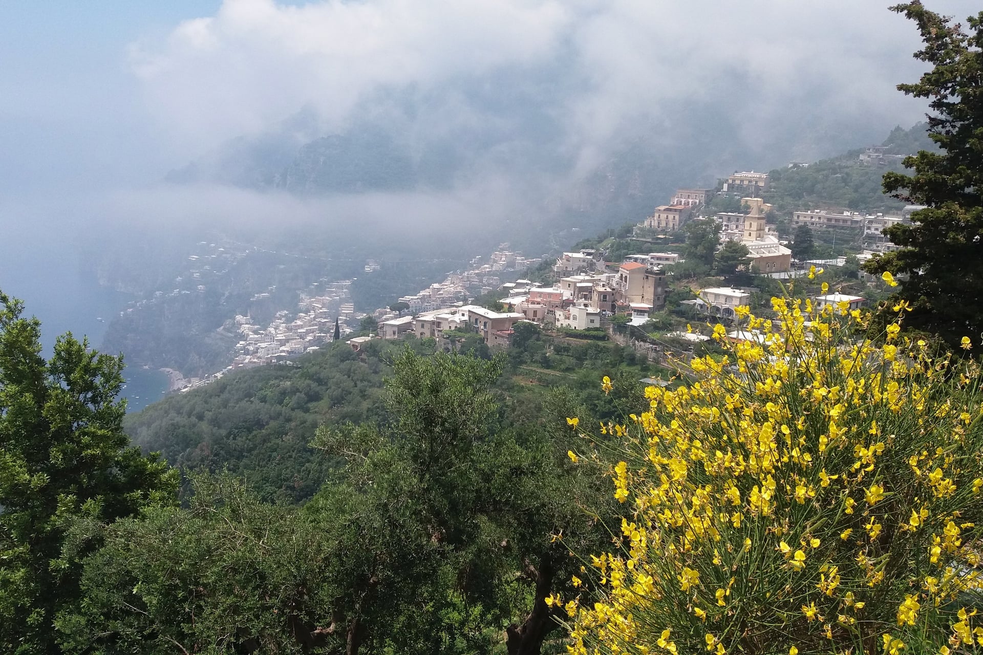
The first way down is the Arienzo stairway, part of CAI path 331: about 1,700 steps from Nocelle's church square drop 354 m in 0.9 km to Arienzo on the coast road. From there it is about 1 km along the road, with traffic, to the Sponda bus stop in Positano.
The second goes by Montepertuso. A lane and the road lead 2.3 km to the village at 355 m, named after the hole in the rock wall above it, then path 331a takes steps down for 1.3 km to Liparlati, in upper Positano.
For most walkers, the way down by Montepertuso is easier on the knees. It takes about 30 minutes longer, but its steps drop 255 m in 1.3 km instead of 354 m in 0.9 km, and it ends in Positano itself. CAI's page for path 327 suggests the same way.
If your legs have had enough, Mobility Amalfi Coast buses run from Nocelle through Montepertuso to Positano. The stop is up a flight of steps at the top of the village.
From Praiano: The 327b and San Domenico Steps
Distance: 1.3 km on the 327b to Colle La Serra, or about 1.7 km on the San Domenico path to the main path
Height: 261 m to 578 m on the 327b; about 110 m to 525 m by San Domenico
Time: 50 minutes up the 327b by CAI's times; about 1 hour 15 by San Domenico
Terrain: one long stairway on the 327b; village steps, then a stony path past the convent, by San Domenico
Water: the fountain at Colle La Serra; a fountain by the San Domenico convent
Way off: back down the same steps to Praiano
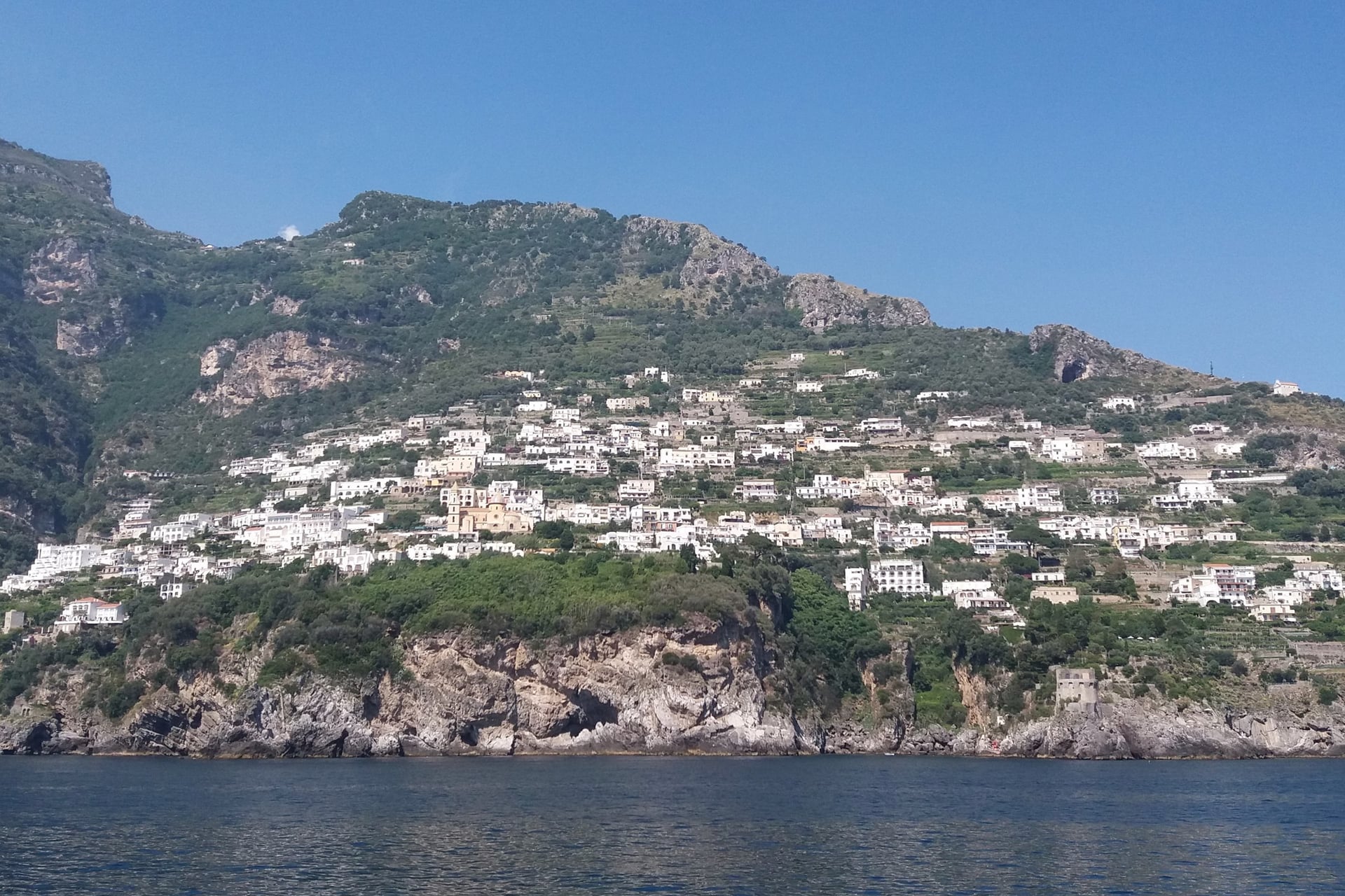
Praiano lies below the path, and two ways climb to it from the village. The 327b starts in the upper village at 261 m, off Via Costantinopoli, as the Via Colle La Serra stairway. It climbs 301 m in 1.3 km and joins the path at the fork, at the start of Stage 2.
The San Domenico path starts lower, by the Vettica Maggiore bus stop on the coast road. It climbs on village steps to the convent of San Domenico at about 360 m, then on a path to the main branch, 350 m west of Colle La Serra. The 327b is the quicker climb, and the San Domenico path passes the convent and its fountain on the way.
Where Does the Path of the Gods Start?
The Path of the Gods starting point is Piazza Paolo Capasso in Bomerano, where the SITA bus from Amalfi stops, and most walkers go west from there to Nocelle. You can also join it from Praiano, which saves the bus ride for walkers who sleep there.
Walk it west, from Bomerano, because starting in Positano means about 710 m of climbing: up the Arienzo steps to Nocelle and on to the Grotta del Biscotto, with your back to the view for most of the day.
How Hard Is the Path of the Gods?
CAI grades the path E, a marked hiking path that needs some fitness and proper shoes; the easy grade is T. You need no climbing skill, but heat, drops and the stairs to Positano make it harder than its 5.3 km suggest.
Exposed Stretches and Vertigo
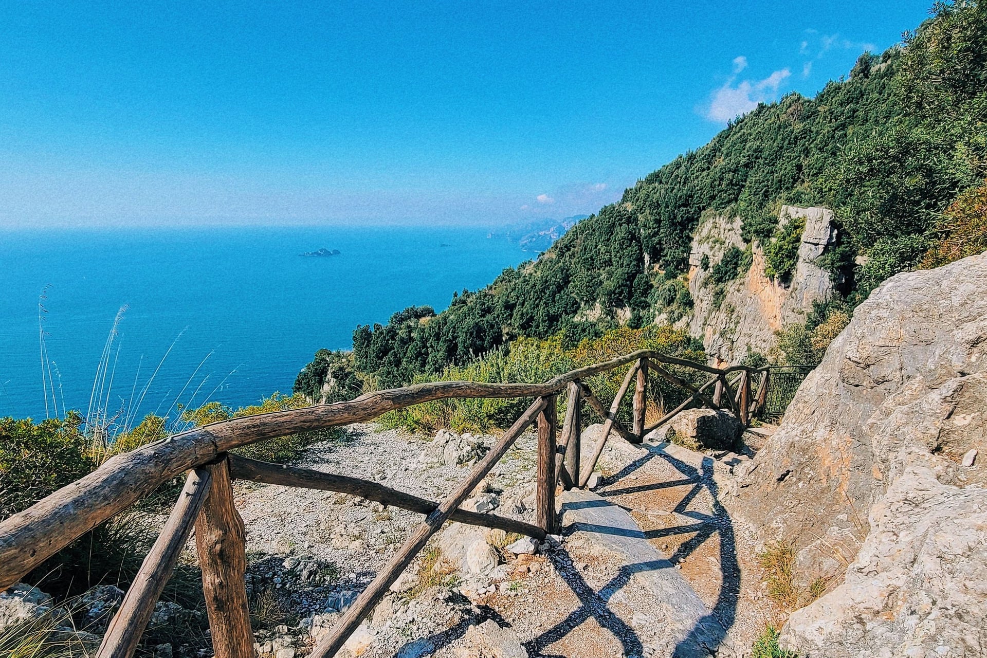
The exposed part is the main path between Colle La Serra and Cannati, where it runs along the cliff edge with unfenced drops; only a few stretches have a wooden rail. After Cannati, short exposed sections remain. If heights worry you, take the 327a variant, and keep young children close.
Do not walk the path in rain or just after it, when the worn limestone and the steps become slippery. Between Cannati and Nocelle the path keeps to the top of the slope, above long drops into the gullies.
Heat, Shade and Water
From June to September the heat is the main difficulty, as the path faces south and has little shade until the woods before Nocelle. At Capri, the nearest weather station, the temperature reaches 30 °C or more on about 23 days in July.
Water points are only at Bomerano, Colle La Serra and Nocelle, so carry at least 1.5 litres a person. In summer, start by 8 am, before the hottest hours.
Waymarks and Emergencies
The path is marked in red and white with the number 327, with signposts at the junctions. Numbered ceramic tiles along the way carry the 118 emergency number: give the number on the nearest tile when you call 118 or 112, so rescuers can find you.
How to Get to Bomerano and Back by Bus
Bomerano lies at 620 m on the Agerola plateau, 40 minutes by bus above Amalfi, on SITA's line from Amalfi to Naples.
To Bomerano
SITA line 5080 runs from Amalfi to Agerola, and the stop for the path is Agerola (Bomerano). The timetable from 16 October 2026 lists 23 departures from Amalfi, the first at 07:10.
From | Bus | Time to Bomerano |
Amalfi | SITA 5080 | 40 minutes |
Positano | SITA 5070 to Amalfi, then 5080 | About 2 hours with the change |
Sorrento | SITA 5070 to Amalfi, then 5080 | About 2 hours 30 with the change |
Naples (Varco Immacolatella) | A few SITA 5080 runs | About 1 hour 35 |
Back From Positano
From Positano, SITA line 5070 runs back to Amalfi in 40 minutes and on to Sorrento, and Travelmar ferries sail to Amalfi in 25 minutes.
In summer, buses on the coast can be full, and you may have to wait for the next one. Every line and timetable is in our guide to getting around the Amalfi Coast.
Tickets and Fares
SITA fares rose on 1 October 2026 to €1.60, €2.50, €3.00 or €3.60 for a single ride, by distance, and the COSTIERASITA 24-hour ticket is €10. Buy tickets before you board, at a tabacchi, a newsagent or in the UnicoCampania app, because drivers charge more.
Mobility Amalfi Coast, Nocelle to Positano: €1.30 bought in advance, €1.80 on board
Travelmar ferry, Positano to Amalfi: €10
Taxi from Amalfi to Bomerano: €80 for 1 to 4 people on the official fixed fare
Best Time to Walk the Path of the Gods
What changes through the year is the heat on the open slope: at Capri the average high rises from 19.8 °C in April to 32.4 °C in August.
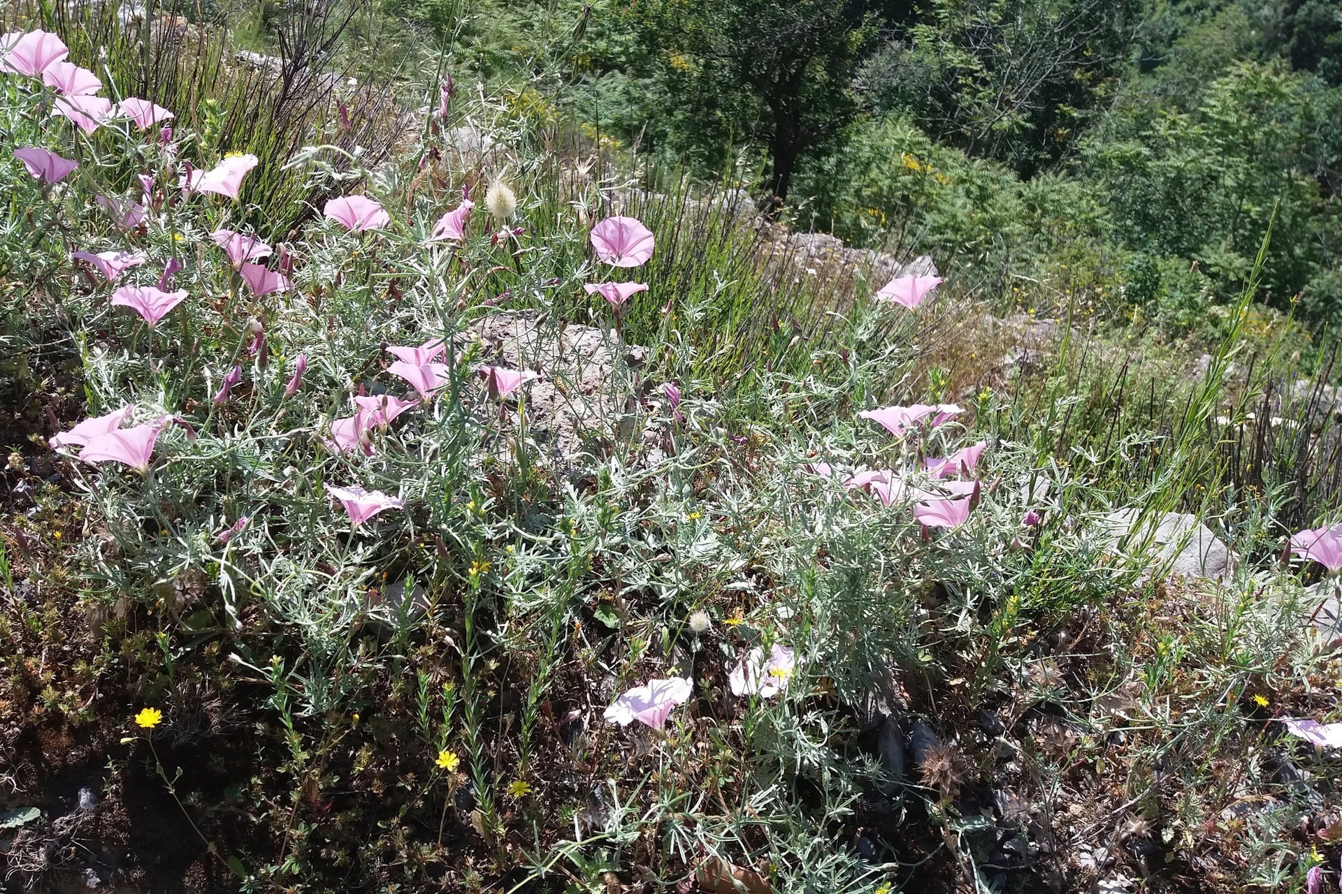
April and May: highs of 19.8 °C and 24.4 °C, flowers on the terraces and almost no days of 30 °C
June: 28.7 °C on average, with 11 days of 30 °C or more; broom flowers along the path early in the month
July and August: 31.7 °C and 32.4 °C, with 23 and 26 days of 30 °C or more; walk at dawn
September and October: 28.3 °C and 23.5 °C, with rain rising to 58 mm and 88 mm a month
November to March: highs of 14 to 18 °C and the most rain, 96 mm in November; many hotels in Positano close from late November to mid-March
For most walkers, May and early October are the best months, with highs of 23 to 25 °C. Our month-by-month guide to the best time to visit the Amalfi Coast adds sea temperatures, festivals and crowds.
Know Before You Arrive
The path itself needs no booking; the planning is about closures, kit and whether to walk with a guide.
Fees, Permits and Closures
In October 2026 the Path of the Gods is free, with no ticket, permit, booking or limit on numbers. It closes only after incidents: the Comune di Agerola shut it on 30 August 2020 after wildfires. Check its status after storms or fires, on Agerola's page for the path or CAI's path page.
What to Pack
The stony path, the worn steps and the strong sun set the kit, whatever the month. Grip and sun protection matter more than warmth from May to October.
For any day walk:
Trail shoes or light boots with a grippy sole; no sandals on the steps
A small day pack with a light rain jacket outside summer
A sun hat, sunglasses and sun cream
A charged phone with the CAI GPX track or an offline map
For the Path of the Gods:
At least 1.5 litres of water a person, more in summer
Walking poles for the stairs down to Positano
A warm layer for Bomerano, at 620 m, on spring and autumn mornings
Lunch or snacks from Bomerano's shops for a picnic on the way
Guided or On Your Own?
You do not need a guide: the path is waymarked and busy, and most walkers go on their own by bus.
Guided day trips from Sorrento and Positano include transfers to Bomerano and back, and suit walkers unsure about the exposed stretch.
Day Trip or Part of a Walking Week?
As a day trip from Positano, Amalfi or Sorrento, the Path of the Gods comes down to buses and timing.
From Positano you need two buses to reach Bomerano, about 2 hours with the change, so you start walking late in the morning, in the hottest part of a summer day. At the end you wait for a bus again, at Nocelle or Positano.
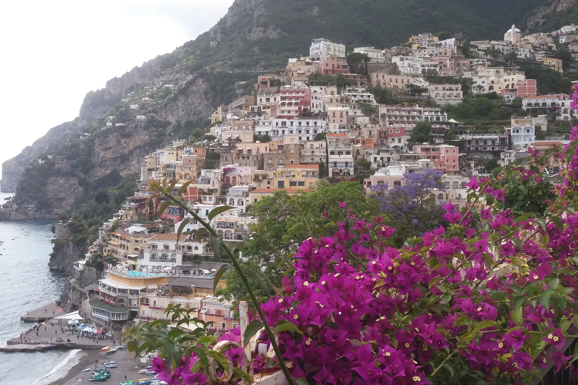
Sleeping in Praiano puts the path above your hotel. You can start up the steps at 8 am and reach Positano in the early afternoon, with your luggage already there and time for a swim and the other things to do on the Amalfi Coast.
Our self-guided Amalfi Coast and Capri Island walking holiday is built this way:
Duration: 8 days / 7 nights, from April to November
Route: Amalfi to Positano, 67.9 km over six walking days, with a walking day on Capri
Path of the Gods: twice; a loop from Praiano by the Valley of Praia and Bomerano on day 5, and on day 6 up the pilgrims' path to the San Domenico monastery, on to Nocelle and down by Montepertuso
Nights: Amalfi, Praiano and Positano, in 3-star hotels with breakfast, with luggage moved between them
The shorter Best of Amalfi Coast, 5 days, walks the Praiano to Positano day. Amalfi to Sorrento, 11 days, walks both days and carries on to Sorrento.
Ask us about dates for next season.
From the church square in Nocelle the steps drop towards the sea, and on a clear evening Capri sits on the horizon where the path has pointed all day.
Frequently Asked Questions
Plan with a hiking expert
Free advice from a team that knows these routes inside out - real people, not a bot

Hassle-Free
We handle itineraries, accommodations, and anything else you prefer not to deal with, so you can enjoy a carefree hike.

Book With Confidence
We are a financially protected company, fully bonded and insured, keeping your money safe and allowing you to travel with confidence.

Tried & Tested Adventures
Only the best walking holidays on the Amalfi Coast, cherry-picked by our local team with an in-depth knowledge of the region.

Unbeatable Support
Our 24/7 customer support is where we show our passion, bringing you a better experience by making your well-being our number one priority.
